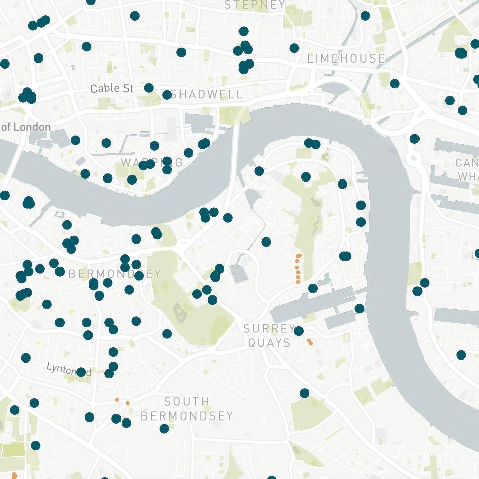
Maps
We provide a wide range of map overlays that can easily be integrated into websites or applications. These include:
Flood risk
Covering fluvial, pluvial and coastal flood risk, areas benefitting from flood defences and historical flooding.
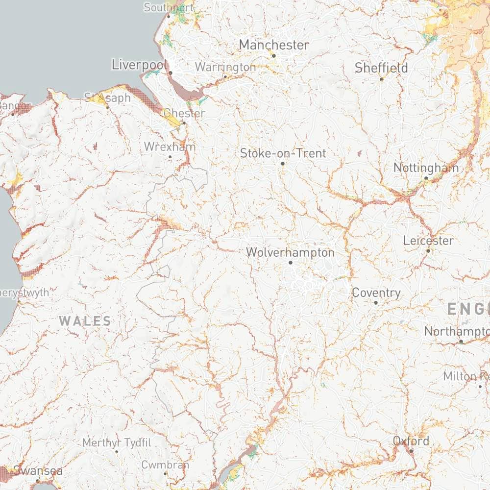
Planning restrictions
Including listed buildings, conservation areas, World Heritage Sites and national parks.
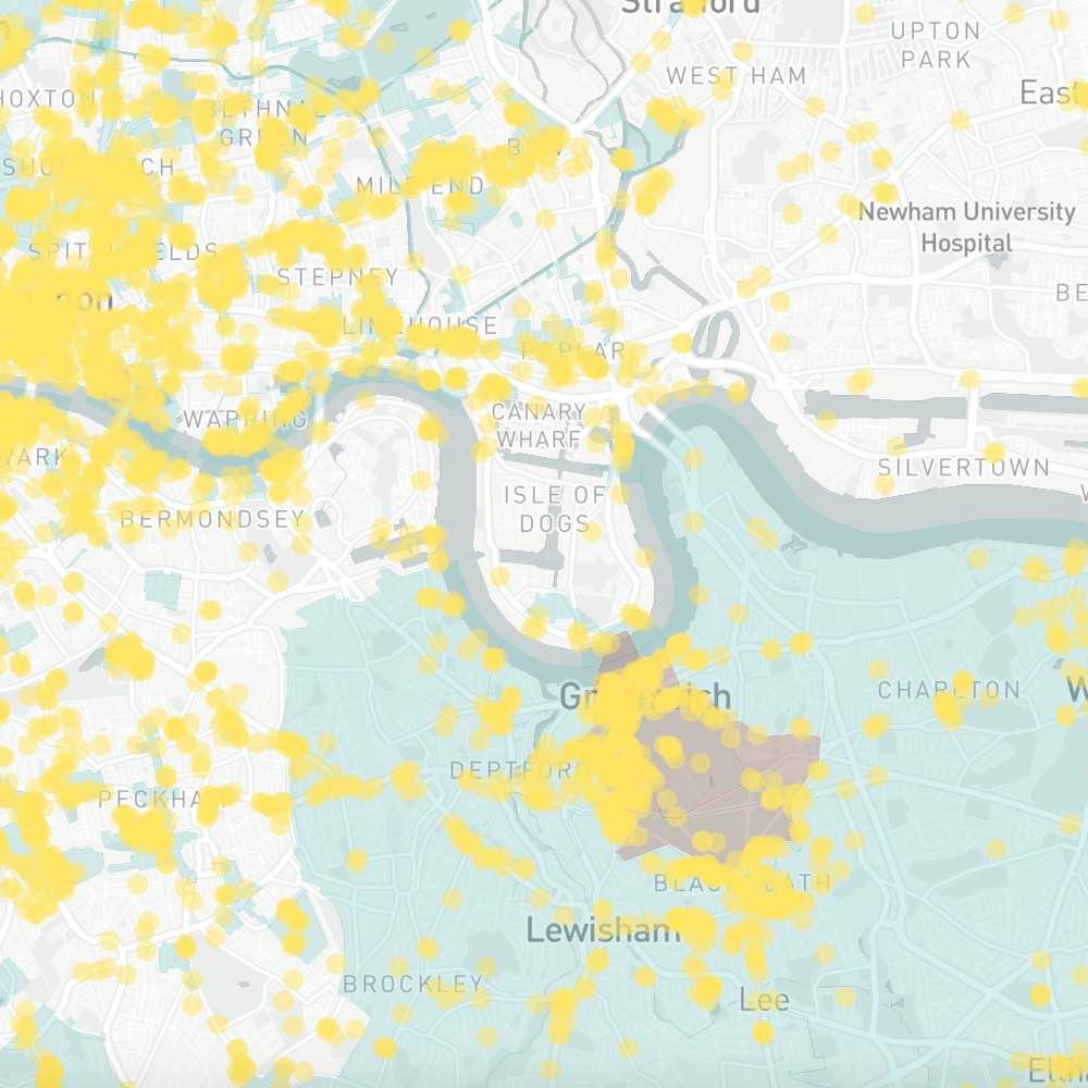
Points of interest
Including airports, train stations, power stations, healthcare facilities and EV charging points.
Datasets
The following datasets are available to license:

 Overheating
An assessment of the overheating risk of every UK property, based on analysis of a wide range of factors including property type, location, weather patterns, surrounding land use and exposure. Assessments are provided for current conditions and multiple climate change scenarios.
 Enhanced EPCs
An up-to-date, UK-wide database of Energy Performance Certificates (EPCs) cleaned for general analytical workflows. Improvements include: standardised formatting, categorical variables, descriptors and null-ish values; updated energy-use and carbon footprint estimates; and comprehensive error checking.
 Air quality
Current exposure levels and trends of key pollutants (including NO2, SO2 and particulate matter) at every UK property. These are provided alongside UK-wide rankings and assessed against World Health Organisation guidelines.
 Flood assessment
A comprehensive flood risk assessment of every UK property. Analysis includes risk of flooding from rivers, seas and surface water, reliance on flood defences, evidence of historical flooding, distance to closest flood zone, elevation and distance to coast.
 Climate
Climate assessments (and rankings) for each UK property. Factors covered include average annual sunshine, average temperature, maximum temperature, rainfall and wind speed. These are provided alongside forward-looking temperature and rainfall projections under multiple climate change scenarios.
 Retrofit
Estimated energy and carbon saving impacts of more than 30 common green home upgrades including heat pumps, solar PV, insulation and smart thermostats. These are provided for more than 10,000 property types, segmented by attributes including location, size, age and type.
 Energy & carbon statistics
Statistics including average energy efficiency and carbon footprint, grouped by location (postcode, local authority, region and country) and property type.
 Location
A dataset that links unique property reference number (UPRNs) to the names and codes of relevant administrative boundaries including postcodes, electoral areas, local authorities, regions and countries.
EPC Check
An in-depth assessment of the errors and inconsistencies within every current domestic Energy Performance Certificate (EPC) in the UK.
For more information on any of the above - or to discuss bespoke requests - please contact us at info@propeco.io.

Interested? Leave your details below and someone will be in touch soon.
You can also contact us at info@propeco.io or connect with us on LinkedIn here.